Solar & Outdoor
Quantify direct sunlight on any surface
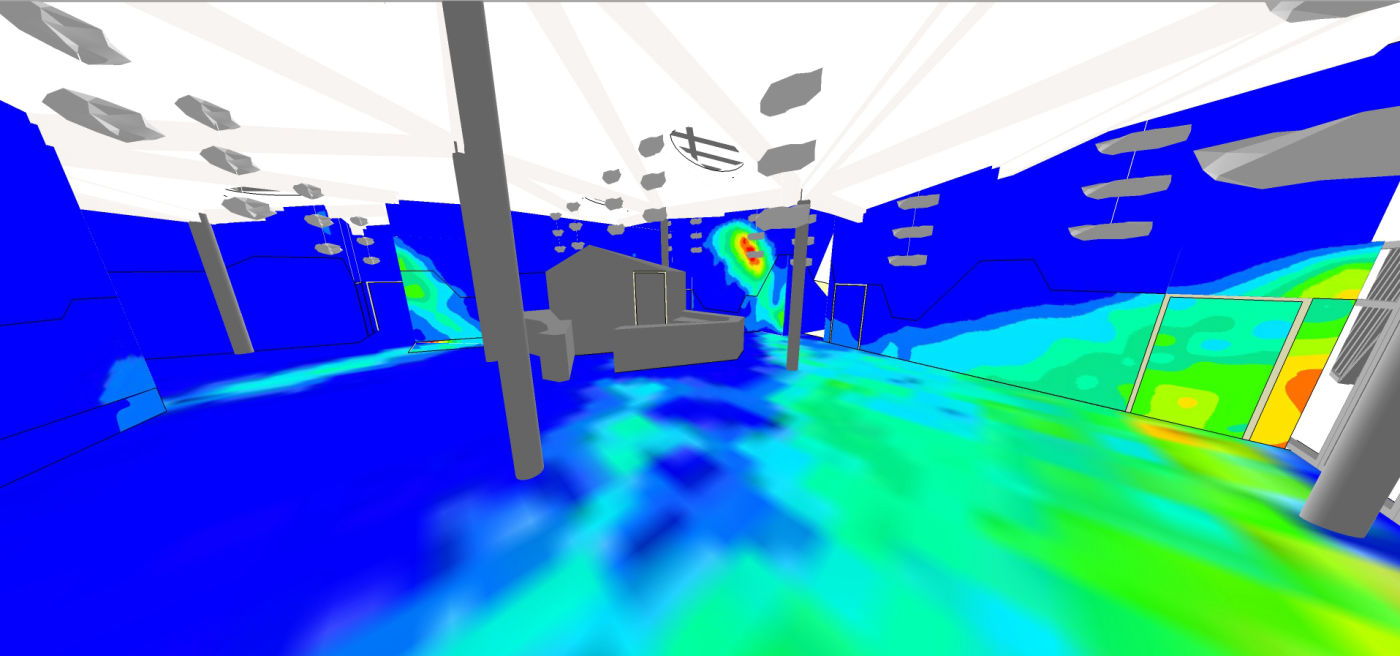
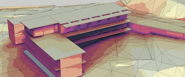
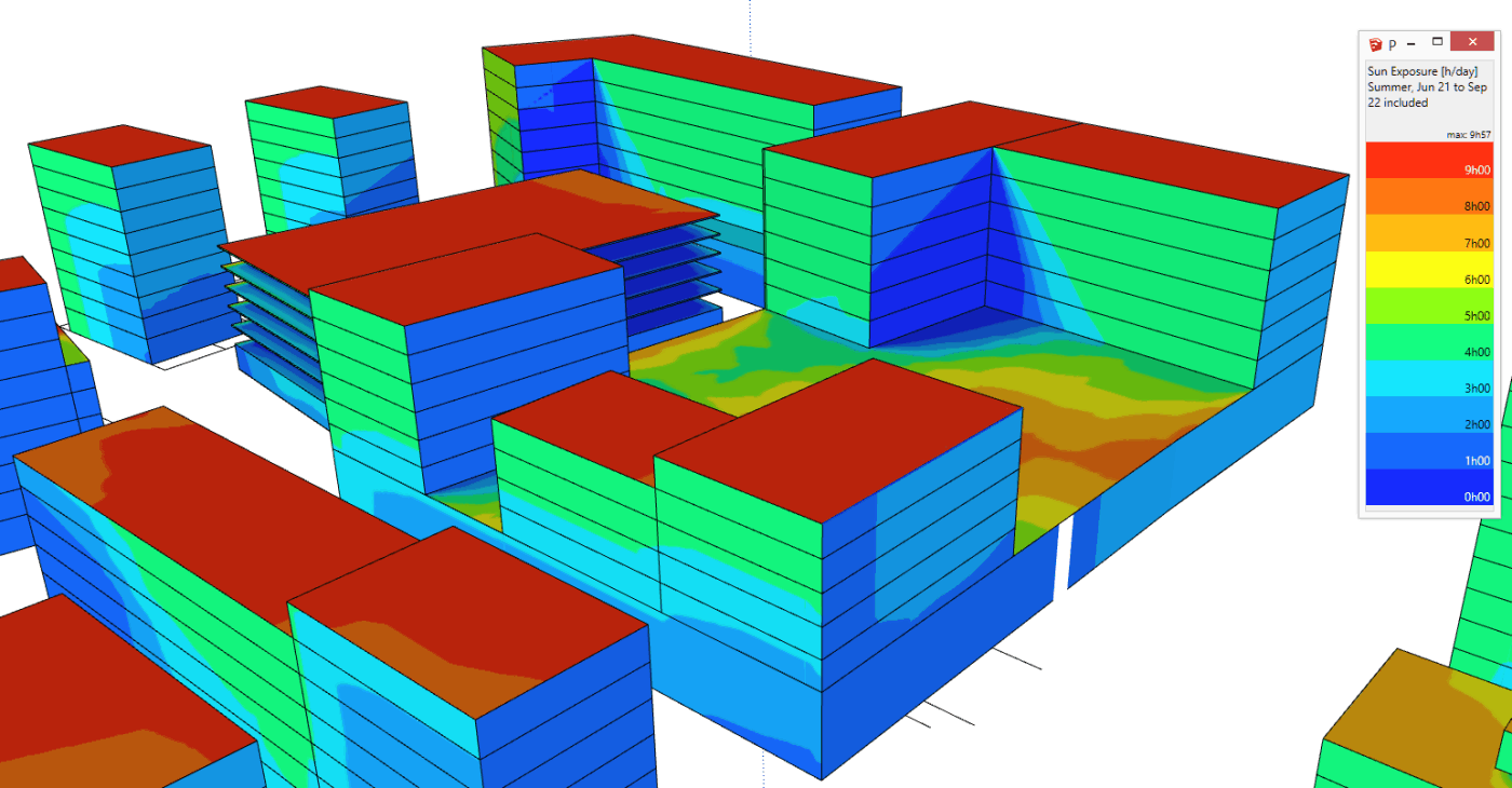
DL-Light computes the number of hours of direct sunrays hitting any surface over a user-defined period, using EPW climatic files. Results are displayed as false-colour maps directly on the SketchUp model.
Three distinct analyses are available in a single module: Sun Exposure (cumulative hours), Shadow Studies (pattern visualisation across a date range), and Projected Shadows (single-moment shadow extent for precise planning checks).
- Sun Exposure: hours of direct sun per surface over any period
- Shadow Studies: visualise shadow patterns across date ranges
- Projected Shadows: precise shadow length at any single moment
- Critical for passive solar design, thermal comfort, and overshadowing assessment
- Used for urban planning, planning submissions, and solar panel placement